בחרו את שפת העמוד:
שפה נוכחית
ברוכים הבאים! באפשרותכם להירשם על ידי מילוי פרטים אישיים, או על ידי כניסה לחשבון הפייסבוק או הגוגל שלכם
או
| כותר |
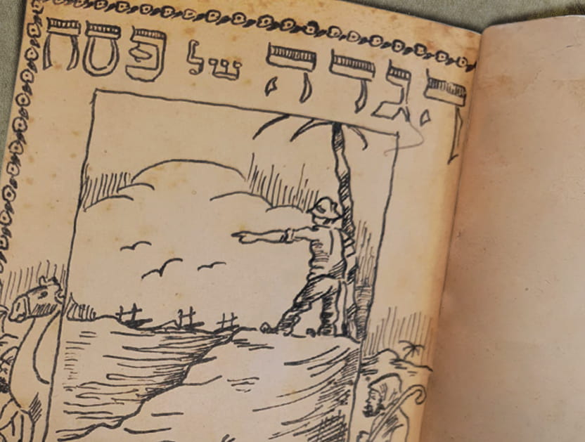
La Palestine ou la Terre Sainte divisee en dix Tribus [cartographic material]. |
|---|---|
| מוציא לאור |
Paris : Le Rouge |
| שנה |
1746 |
| הערות |
Place of publication is spelled on map "Papis". Should read "Paris". Copperplate From: Le Rouge, George Louis, Atlas nouveau portatif, Paris, 1748 Map showing all twelve (not “Dix” or ten) tribes on both sides of the Jordan. The title engraver not only had problems with French but also the city where the map was engraved using “p” instead of “r” in Paris. The coast starts well South of Gaza at "Bethappucch" in the South and ends at “Gibele” in Phenicie in the North. This likely refers to the city written in Phoenician and Punic as ‘Gebel’ and in the bible as ‘Gevel’, now Byblos. This is one of the oldest continuously inhabited cities in the world having been founded around the year 8,800 BCE. There is one very simple measure of scale in the Mediterranean and number ‘76’ appears in the upper left corner.In the bottom center, between the inside and outside borders of the frame is a small circle next to the words "Alia, Elan, Olam Chavila", which appears to the land where Ishmael’s progeny lived “His descendants settled in the area from Havilah to Shur, near the Eastern border of Egypt, as you go toward Ashur. And they lived in hostility toward all the tribes related to them.”. Genesis 25:18. [Information received from Howard Golden]. FIRST STATE: 1746. Name in title cartouche is ‘le Rouge’. The number 76 (of 91 maps in the Atlas) appears in top left corner. This was usually issued in outline color. Found in: ATLAS NOUVEAU PORTATIF à l´Usage des Militaires. Colleges et du Voyageur TOME I.er Contenant 91 Cartes Dressées sur les Nouvelles Observations dedié AU ROY. Par … G. Le Rouge … A PARIS. (no date, but a subsequent title page “INTRODUCTION A LA GEOGRAPHIE Par le Sieur LE ROUGE” the year M.DCC.XXXXVIII (1748) appears.) (The map has number 76) Paris 1748 [1st edition, then in 1756] Same plate used in both editions. George Louis Le Rouge (c. 1710- c. 1790) was a French military engineer specializing in atlases of plans and fortifications. (AC, Laor 439). [Information received from Howard Golden]. אוסף המפות על שם ערן לאור, הספרייה הלאומית |
| קוד מפה דיגיטאלית |
pal0503 |
| היקף החומר |
276x207 mm. |
| שפה |
צרפתית |
| סימול |
Pal 503 Laor 439 |
| קרדיטים |
אוסף המפות ע"ש ערן לאור |
| מספר מערכת |
990023687250205171 |
בכל שימוש יש לציין את מקור הפריט בנוסח הבא:
אוסף המפות ע"ש ערן לאור
תנאי השימוש:
מותר להעתיק את הפריט עבור כל מטרה ולהשתמש בו עבור כל מטרה.
אין צורך לפנות לספרייה הלאומית לקבלת רשות שימוש בפריט.
מידע נוסף:
פריט זה שייך לנחלת הכלל (Public Domain) ואינו כפוף לזכויות יוצרים במדינת ישראל.
יש לשים לב כי כללי זכויות יוצרים עשויים להשתנות ממדינה למדינה ולכן אם ברצונך לעשות שימוש בפריט מחוץ למדינת ישראל עליך לברר מהם כללי זכויות יוצרים על פי הדין החל באותה מדינה.
אם לדעתך נפלה טעות בנתונים המוצגים לעיל או שקיים חשש להפרת זכות יוצרים בפריט,
אנא פנה/י אלינו באמצעות טופס בקשה לבירור זכויות יוצרים.
יודעים עוד על הפריט? זיהיתם טעות?
 כניסה עם גוגל
 כניסה עם פייסבוק