Hambleden (England)
Enlarge text Shrink text-
 Place
Place
|
מספר מערכת
987007540196405171

-
Save successfulThe item can be found in your Personal ZoneשגיאהLog in to your account to save
Information for Authority record
Name (Latin)
Hambleden (England)
Coordinates
W0005215 W0005215 N0513417 N0513417 (geonames )
Associated country
Great Britain
MARC

MARC
Sources of Information
- Hambleden, 1830:broadside (the parish of Hambleden)
- Lippincott(Hambleden; agr. village and parish, SW Buckingham, England)
1 / 5

Stag ^ Huntsman - geograph.org.uk - 7013136
N Chadwick  , CC BY-SA 2.0

File:Hambleden, Buckinghamshire-geograph-5119745-by-Peter-.jpg
Peter, CC BY-SA 2.0

File:Hambleden St Marys Ceiling Detail.JPG
Russ Hamer, CC BY-SA 3.0
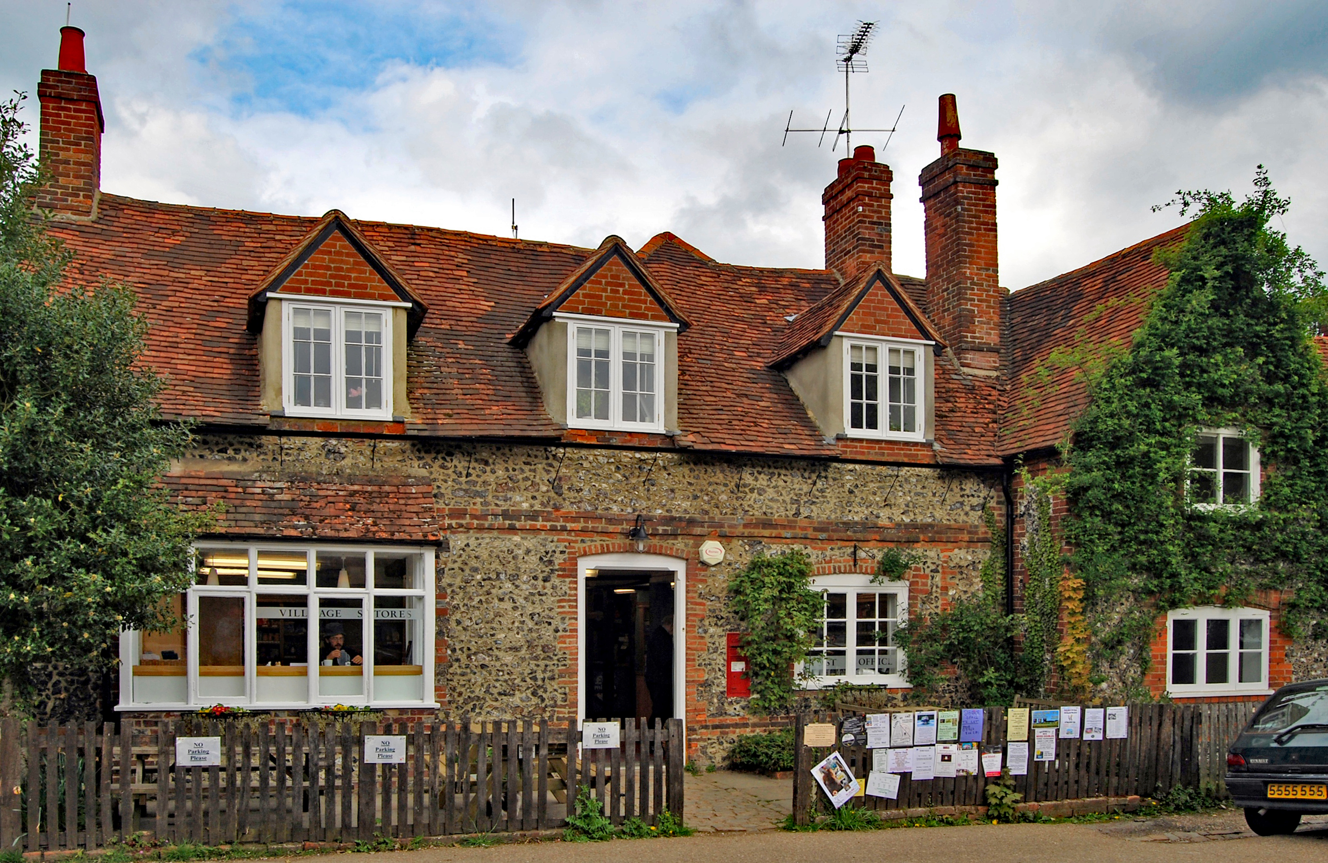
File:Hambleden Village Post Office and Store.JPG
Russ Hamer, CC BY-SA 3.0

File:St Marys Hambleden SW aspect.JPG
Russ Hamer, CC BY-SA 3.0
Wikipedia description:
Hambleden is a small village and civil parish in southwest Buckinghamshire, England. The village is around 4 miles (6.4 km) west of Marlow, and around 3 miles (4.8 km) northeast of Henley-on-Thames in Oxfordshire. The civil parish also includes the villages of Fingest and Frieth, and the hamlets of Colstrope, Mill End, Parmoor, Pheasant's Hill and Skirmett. At the 2011 Census, the population of the parish was 1,445.
Read more on Wikipedia >