About the Collection
A physical and virtual collection of maps. The heart of the collection are maps of Holy Land and it is one of the largest of its kind in the world.
A physical and virtual collection of maps. The heart of the collection are maps of Holy Land and it is one of the largest of its kind in the world.
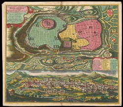
The National Library of Israel has released a collection of 200 high-resolution unique maps of Jerusalem in collaboration with Wikimedia Israel. This collection of antique maps, spanning from 1486 to 1947, contains a variety of styles and languages.
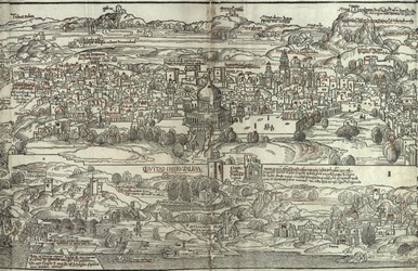
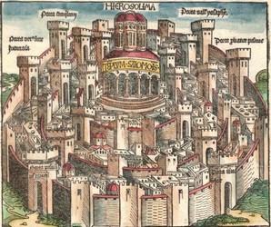
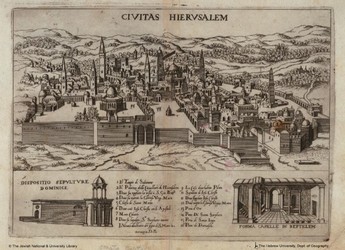
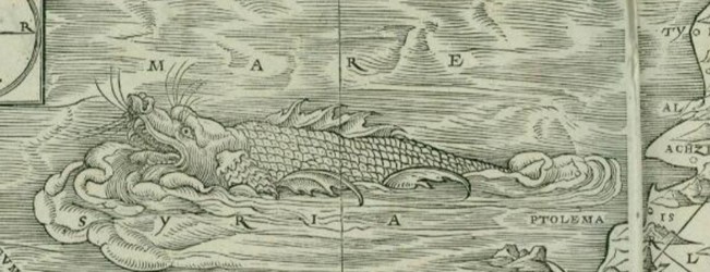
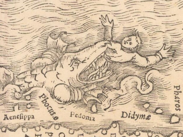
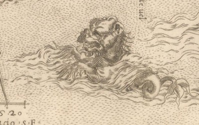
The National Library, David and Fela Shapell Family Digitization Project and the Hebrew University, Department of Geography, Historic Cities Research Project created a digital collection dedicated to antique maps of Jerusalem in 2002. This project, based on the Eran Laor Cartographic Collection, contained a variety of maps of Jerusalem, both real and imaginary, dating from 1486 through 1930. Each map was accompanied by detailed bibliographic data, and was presented in a variety of image formats, including the zoomable MrSid format.
A parallel joint project, Historic Cities, contains maps of historic cities throughout the world. The project was made possible by a generous grant from the Council for Higher Education in Israel - Planning & Budgeting Committee.
In 2007, the National Library and the David and Fela Shapell Family Digitization Project launched the Holy Land Maps website. This project, based on the Eran Laor Cartographic Collection, contained over 1,000 maps dating from 1462 through the early 20th century. Each map was accompanied by detailed bibliographic data, and was presented in a variety of image formats, including the zoomable MrSid format.
Maps from the Holy Land Digital Collection are held by the following institutions:
The British Library
Trinity College, Cambridge
Queen's College, Oxford
Corpus Christi College Oxford
Corpus Christie College, Cambridge
The Hague, Koninklijke Bibliotheek – The National Library of the Netherlands
Österreichische Nationalbibliothek
Kremsmünster, Stiftsbibliothek
Universitaetsbibliothek Leipzig
Badische Landesbibliothek, Karlsruhe
The Morgan Library and Museum
Dr. Alfred Moldovan The late
The Jewish Theological Seminary
Beinecke Rare Book and Manuscript library, Yale University
Bibliothèque d'agglomération St. Omer
Det Arnamagnænske Institut, Kobenhavns Universitet Amager
Uppsala University Library
אמיר כהנוביץ, ישראל Amir Cahanovitc
אמנון דור, ישראל Amnon Dor
The American Geographical Society Library (AGSL), University of Wisconsin – Milwaukee, WI USA
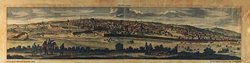
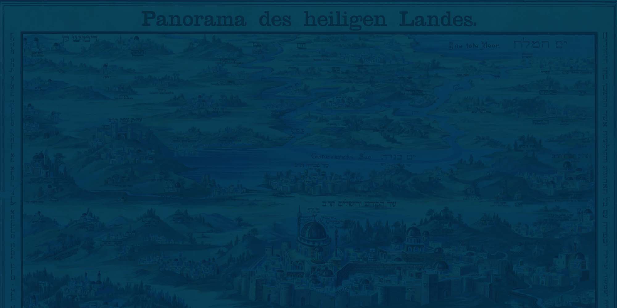
Panorama des heiligen Landes, ca. 1900