Tulita (N.W.T.)
Enlarge text Shrink text-
 Place
Place
|
מספר מערכת
987007463592105171

-
Save successfulThe item can be found in your Personal ZoneשגיאהLog in to your account to save
Information for Authority record
Name (Latin)
Tulita (N.W.T.)
Other forms of name
Norman (N.W.T.)
Fort Norman (N.W.T.)
Associated country
Canada
MARC

MARC
Other Identifiers
Sources of Information
- Tulita area moose survey, January 1999, 2003.
- GEOnet, Feb. 4, 2003(Tulita, PPL, 64⁰54ʹ00ʺN 125⁰35ʹ00ʺW, N.W.T.; variants: Norman, Fort Norman)
- Canadian geographical names, via WWW, Feb. 4, 2003(Tulita, N.W.T., hamlet, location: Mackenzie, 64⁰54ʹ06ʺN 125⁰34ʹ41ʺW)
1 / 7

Tulita Street
mattcatpurple - https://www.flickr.com/people/ntlibrarian/, CC BY-SA 2.0

File:Fort Norman and Bear Rock, N.W.T. - Jones INS-398.jpg
Unknown author, Public domain

File:Photographs of scenes and incidents on the Imperial Oil Company's expedition to the Ford Norman oil fields (HS85-10-39070-1).jpg
Herald Publishing Company
, Public domain
File:Photographs of scenes and incidents on the Imperial Oil Company's expedition to the Ford Norman oil fields (HS85-10-39070-5).jpg
Herald Publishing Company
, Public domain
File:Sternwheeler Distributor and barge at Fort Norman in 1936.jpg
C. Rowan, Public domain
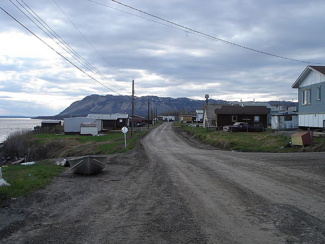
File:Tulita Street.jpg
mattcatpurple - https://www.flickr.com/people/ntlibrarian/, CC BY-SA 2.0

File:View across Tulita to the MacKenzie River (175054924).jpg
mattcatpurple from Hay River, Canada, CC BY-SA 2.0
Wikipedia description:
Tulita, which in Slavey means "where the rivers or waters meet", is a hamlet in the Sahtu Region of the Northwest Territories, Canada. It was formerly known as Fort Norman, until 1 January 1996. It is located at the junction of the Great Bear River and the Mackenzie River; the Bear originates at Great Bear Lake adjacent to Deline. Tulita is in an area that is forested and well south of the tree line. Permafrost underlies the area, more or less continuous in distribution. Tulita is surrounded by mountains, the latter renowned for Dall sheep, and faces the Mackenzie Mountains to the west, which has mountain goats.
Read more on Wikipedia >