Roslindale (Boston, Mass.)
Enlarge text Shrink text-
 Place
Place

-
Save successfulThe item can be found in your Personal ZoneשגיאהLog in to your account to save

- Bland, Roos, and Associates. Executive summary, market analysis and retail revitalization strategy ... 1987:t.p. (Roslindale Village; Roslindale, Massachusetts)
- Rand McNally com. atlas, 1985(Roslindale; part of Boston)

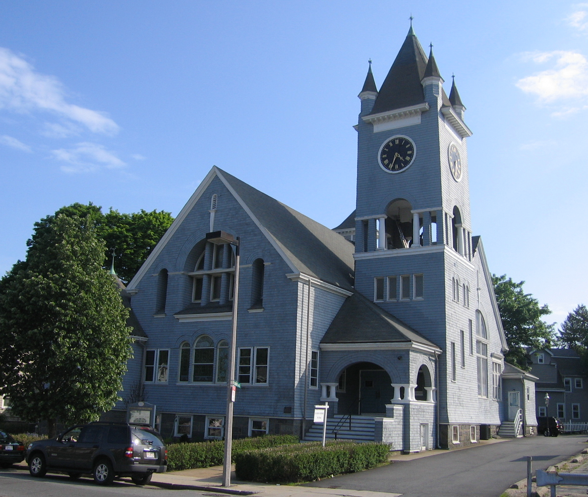

Roslindale is a primarily residential neighborhood of Boston, Massachusetts, United States, bordered by Jamaica Plain, Hyde Park, West Roxbury and Mattapan. It is served by an MBTA Commuter Rail line, several MBTA bus lines and the MBTA Orange Line in nearby Jamaica Plain. Roslindale has its own branch of the Boston Public Library, the neighborhood is covered by Boston Police District E-5 in West Roxbury, Boston EMS Ambulance 17 is stationed in Roslindale, and the Boston Fire Department has a station on Canterbury Street which houses Ladder 16, Engine 53 & District Chief 12. Roslindale's original Engine Company 45, was deactivated on April 10, 1981, due to budget cuts. Roslindale was once called the "garden suburb" of Boston. The portion of the Arnold Arboretum south of Bussey Street is located in Roslindale. Six miles south-southwest of downtown Boston, Roslindale was originally part of the town of Roxbury. In 1851, current day Jamaica Plain, Roslindale and West Roxbury seceded from Roxbury. The area voted in 1873 to be annexed to the City of Boston.
Read more on Wikipedia >