כניסה עם גוגל
 כניסה עם פייסבוק
Jerusalem (Jordan) and region planning proposals [cartographic material] / Drawn by Khalid Assaly. Prepared in the office of the town planning adviser H. Kendall.
Henry Kendall 1903-1983
מפהברוכים הבאים! באפשרותכם להירשם על ידי מילוי פרטים אישיים, או על ידי כניסה לחשבון הפייסבוק או הגוגל שלכם
או
| כותר |
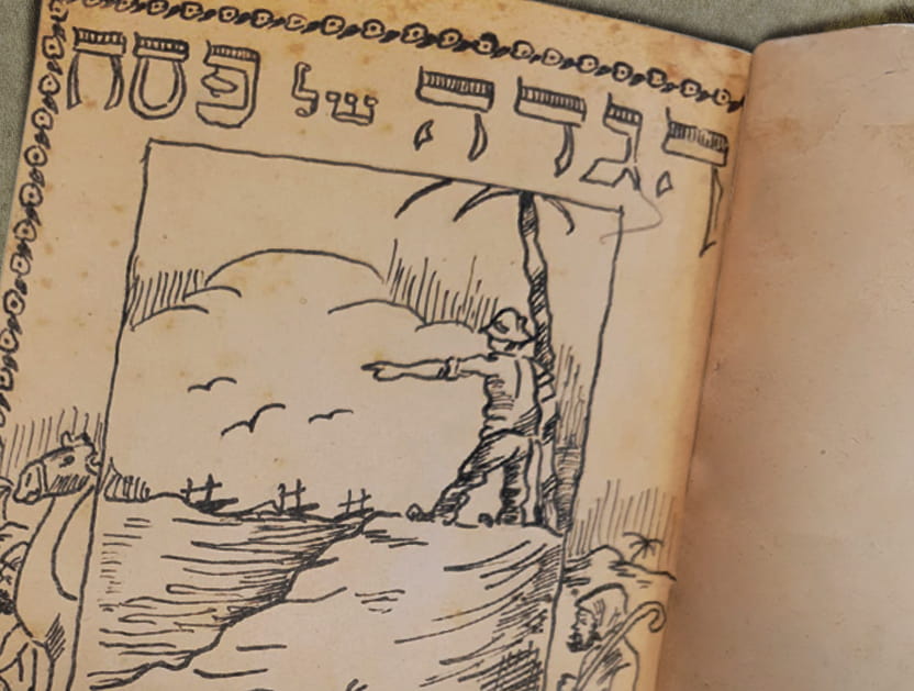
Modern Jerusalem and the surrounding country from Bethlehem to Bethel Chiefly from the survey of Dr. Barclay. |
|---|---|
| מוציא לאור |
[London] : [Society for Promoting Christian Knowledge] |
| שנה |
[1868] |
| הערות |
Digital image of the original in Amir Cahanovitc Collection, Israel. ACC 1614-8. Digital image received from donor. From: The bible atlas of maps and plans to illustrate the geography and topography of the old and new testaments and the Apocrypha, with explanatory notes, By Samuel Clark, M. A., Vicar of Bredwardine, Hereford. Also a complete index of the geographical names in the English Bible, by George Grove. Inset: No. 22. The division of the Holy Land after A. D. 52. אוסף אמיר כהנוביץ Original map: 25.1 x 19.1 cm. |
| היקף החומר |
1 online resource (1 map). |
| שפה |
אנגלית |
| קרדיטים |
אמיר כהנוביץ |
| מספר מערכת |
990039088150205171 |
בכל שימוש יש לציין את מקור הפריט בנוסח הבא:
אמיר כהנוביץ
תנאי השימוש:
מותר להעתיק את הפריט עבור כל מטרה ולהשתמש בו עבור כל מטרה.
אין צורך לפנות לספרייה הלאומית לקבלת רשות שימוש בפריט.
מידע נוסף:
פריט זה שייך לנחלת הכלל (Public Domain) ואינו כפוף לזכויות יוצרים במדינת ישראל.
יש לשים לב כי כללי זכויות יוצרים עשויים להשתנות ממדינה למדינה ולכן אם ברצונך לעשות שימוש בפריט מחוץ למדינת ישראל עליך לברר מהם כללי זכויות יוצרים על פי הדין החל באותה מדינה.
אם לדעתך נפלה טעות בנתונים המוצגים לעיל או שקיים חשש להפרת זכות יוצרים בפריט,
אנא פנה/י אלינו באמצעות טופס בקשה לבירור זכויות יוצרים.
יודעים עוד על הפריט? זיהיתם טעות?